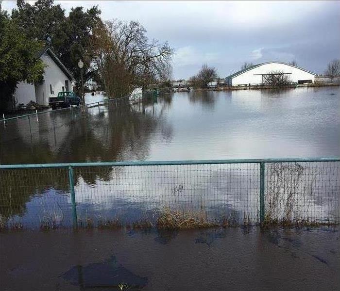
Flooding in San Joaquin Delta
7/3/2019 (Permalink)
 The past two winters the San Joaquin Delta area experienced flooding that they hadn't seen in over 30 years.
Flooding is the most common natural disaster in the United States, affecting all 50 states. Flooding typically occurs when there is a failure of water control structure, such as a levee, or when water due to rain and/or snow melt accumulates faster than it can be absorbed or carried away by a river. San Joaquin County faces flooding risk from both of these causes.
In the early 1900s, many natural wetlands in the San Joaquin Valley were drained for agricultural use. A system of levees was introduced to prevent water from flooding the natural wetlands.
In the San Joaquin Valley, there are four major rivers that flow into the San Joaquin River. Melting snow pack from the Sierra Nevada as well as rainwater is carried through these rivers until they drain into the San Joaquin Delta. In a normal year, reservoirs hold the water until it can be released in a controlled manner downstream, but high precipitation can fill the reservoirs. Even on clear days, solar radiation can melt the snowpack, potentially overwhelming the reservoirs.
Find your FEMA flood zone and other locally determined flood hazard areas:http://www.sjmap.org/floodzoneviewer/Viewer.asp


 24/7 Emergency Service